

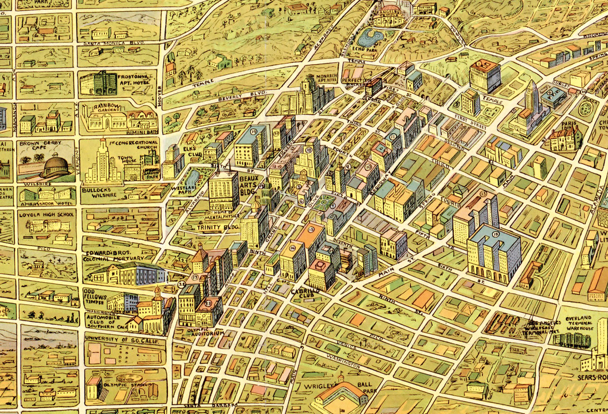

The images above and below are from a 1930's map for children, via the wonderful Big Map Blog. It gives some nice insights into the major sights and marvels of "the wonder city" according to graphic artist, K M Leuschner in 1932. Heavy on country clubs, luxury hotels, school and institutions, this map seems to be a Hancock Park centric view of upper middle class landmarks of early 30's LA. More info is definitely needed about the "nude sun baths" of Santa Monica.
You can explore the entire map, plus download it as JPG here: Big Map Blog 1932 Map of Los Angeles


Read More:
Stay in touch
Sign up for our free newsletter
More from L.A. TACO
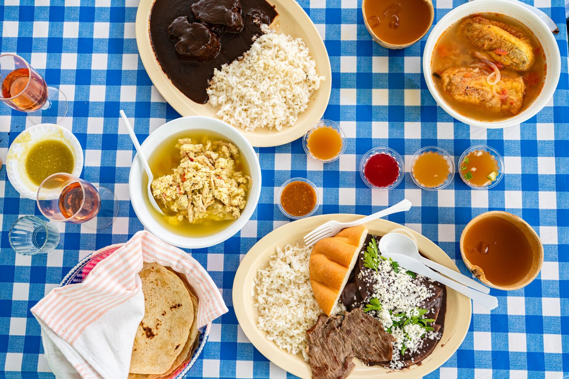
The 11 Best Backyard Restaurants in Los Angeles
Despite many requests to publish this guide, L.A. TACO has been somewhat protective of these gems to not "burn out the spots." However, we wanted to share it with our small, loyal pool of paid members, as we appreciate your support (and know you to be okay, non-NARCs). Please enjoy responsibly and keep these 'hood secrets...secrets.
Here’s What an L.A. TACO Membership Gets You and Why You Should Support Local Journalism
With more than 30 members-only perks at the best L.A. restaurants, breweries, and dispensaries waiting to be unlocked, the L.A. TACO membership pays for itself!

Announcing the TACO MADNESS 2024 Winner: Our First Ever Three-Time-Champion From Highland Park
Stay tuned for the new date of our TACO MADNESS festival, which was unfortunately postponed this last Saturday due to rain.
What To Eat This Weekend: Cannabis-Infused Boat Noodles, Thai Smashburgers, and “Grass & Ass”
Plus, a pizza festival and a respected chef from Toluca, Mexico comes to Pasadena to consult for a restaurant menu, including enchiladas divorciadas, and more.

Facing ‘Immediate Layoffs,’ L.A. TACO Launches Membership Drive to Save Our Publication
After Sunday, we do not have enough money to make another payroll. We need 5,000 members to become sustainable. Our deadline is April 26th to hit this goal.