

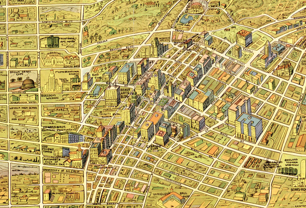

The images above and below are from a 1930's map for children, via the wonderful Big Map Blog. It gives some nice insights into the major sights and marvels of "the wonder city" according to graphic artist, K M Leuschner in 1932. Heavy on country clubs, luxury hotels, school and institutions, this map seems to be a Hancock Park centric view of upper middle class landmarks of early 30's LA. More info is definitely needed about the "nude sun baths" of Santa Monica.
You can explore the entire map, plus download it as JPG here: Big Map Blog 1932 Map of Los Angeles


Read More:
Stay in touch
Sign up for our free newsletter
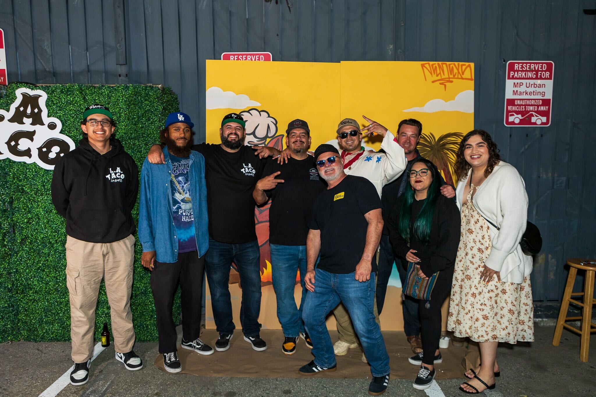
More from L.A. TACO
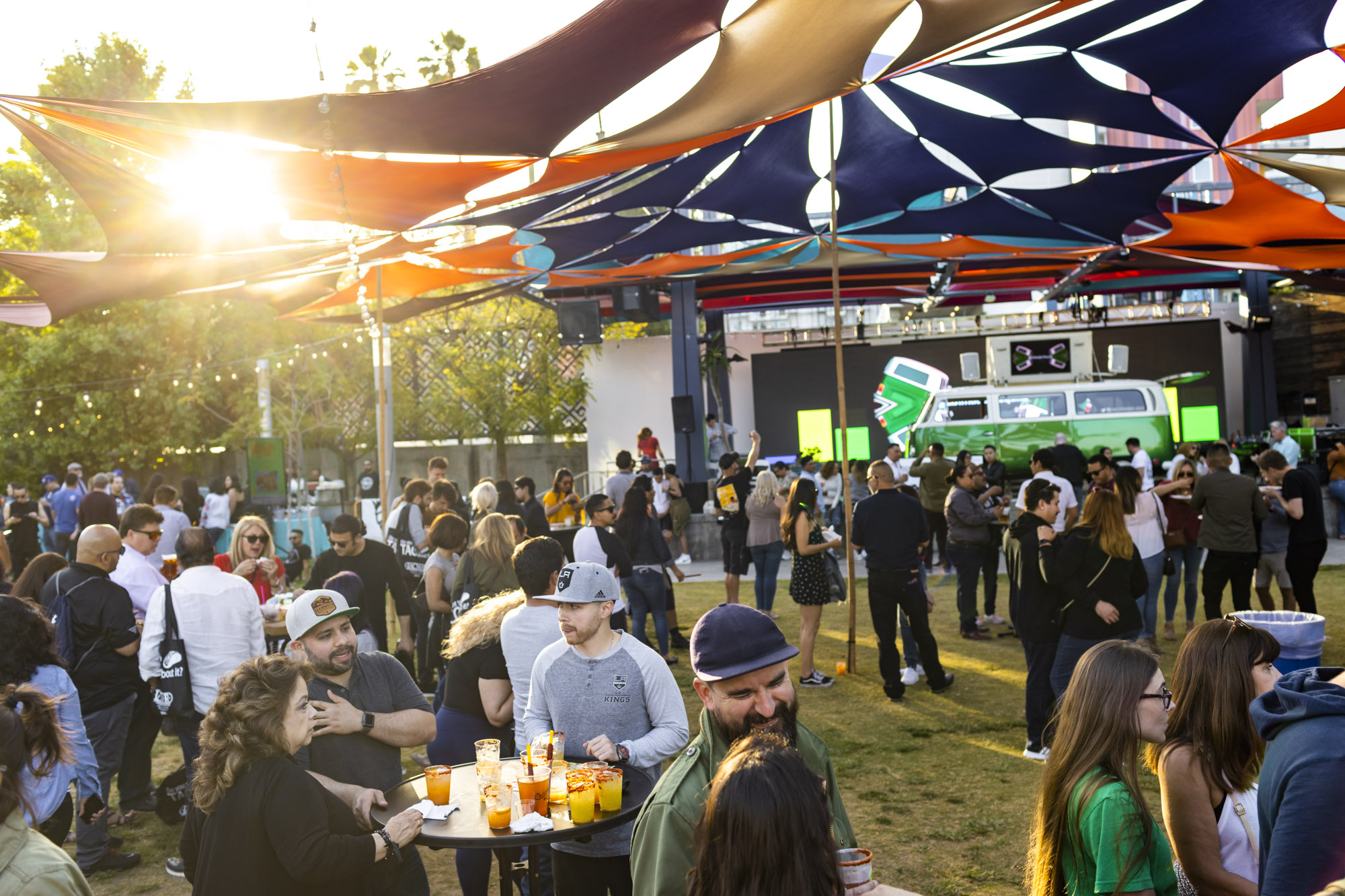
New Date for TACO MADNESS 2024 Event Confirmed: June 15th at La Plaza de Cultura y Artes
After getting rained out, our new date promises to be our biggest and most fun festival to date. Come out and eat all the tacos, drink all the micheladas, dance to the best DJs in L.A., and support our independent journalism! Of course, L.A. TACO members get in for free. Tickets on sale now.
An Update On Our Membership Drive: Some Bad News, and Good News
Some bad news, and some good news on our pledge to survive and stay sustainable.
Where To Eat This Weekend: Bulgogi Pupusas, Hemp Seed Guacamole, ‘Sticky Rice Sticks,’ and Korean Street Food In Venice
Plus an Roman chef veteran in a Hollywood apartment, chocolate Cuba Libres, Uzbeki plov with lazer rice, and cochinita melts in a Silver Lake yard. Here are the best things to eat around Los Angeles (and San Juan Capistrano!) this weekend.
How Your Business Can Benefit From Sponsoring L.A. TACO
When your company sponsors L.A. TACO, you receive a variety of quick and cost-effective benefits for far less than what we price our traditional advertisements and social media mentions at.